"Condemned" protesters?! Who trapped Rama inside the Prime Minis...
/ 2026-10-23 16:02:00Focus


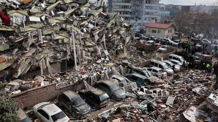
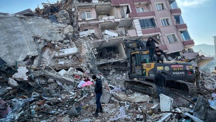
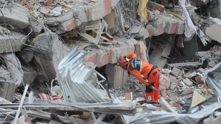
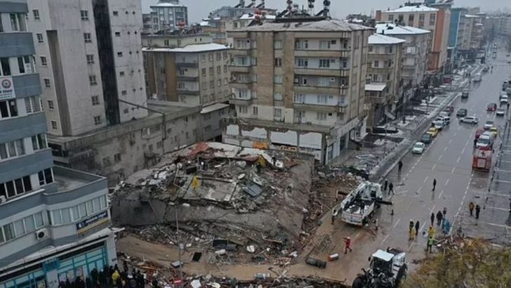
Satellites have managed to film the large crack that has been created in the Earth as a result of the powerful earthquakes that hit southeastern Turkey last week, causing over 40,000 victims in Turkey and Syria.
The data was taken by the European Union's Sentinel-1A satellite as it passed from north to south over Turkey over a length of 700 km.
Sentinel carries a radar instrument that is able to see the earth day and night. It is scanning this earthquake-prone region of the world, tracking changes that are often very subtle in the Earth's surface.
Researchers use the interferometry technique to compare the "before" and "after" images. The red colors depict the movement towards the satellite since the last flyby, the blue colors record the departure from the spacecraft.
It is very clear how the earth is deformed along and near the fault line of Eastern Anatolia. Both for the 7.8 magnitude earthquake that struck first on Monday and for the 7.5 magnitude event, the movement is "to the left".
The Sentinel map will help scientists understand exactly what happened on Monday, and that knowledge will feed into their models of how earthquakes work in the region and risk assessments that Turkish authorities will use as they plan recovery.