Protests, violence, curfews: From France to Albania, why Europe'...
/ 2026-10-20 23:47:20Focus


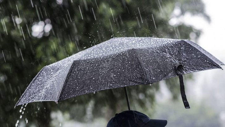
The cyclonic storm that has engulfed Albania is expected to be problematic for the north-west and the center of the country mainly during the afternoon.
In a direct link to Klan News, forecaster Lajda Porja from "MeteoAlb" says that some areas of the country will be affected by torrential rain with strong wind storms.
Lajda Porja: The most problematic day is today, even though it started with clouds, at least in the north it is expected that the intensity of the rain will increase from hour to hour. Precipitation is expected to be problematic from 12:00 to 16:00. Mainly the north-west and the center will have rain showers, occasionally accompanied by strong wind storms. Rainfall will also be in the form of thunderstorms, bringing problems in some areas of the north-west, in the areas of Shkodra and under Shkodra. Likewise, Kruja, Tirana, Elbasan. After 16:00, we expect to have an increase in the intensity of rain, mainly in the southern areas, where Gjirokastra, Vlora, Përmeti and Saranda will receive rain showers, at least until the late hours of the evening. Until tonight in the late hours of the evening, the weather will be problematic in some areas of different cities of Albania and especially along the Western Lowlands, bringing local and intense rain, occasionally accompanied by sea storms. They are tropical cyclones, which were also produced during the day yesterday due to the very high temperatures we experienced yesterday. Meanwhile, temperatures continue to be high even though we have rain, 20 or more than 20 degrees Celsius.
But which are the most problematic areas and in which time slots will the situation be alarming in terms of weather conditions?
Lajda Porja: Shkodra has the problem from 12:30-13:00 until 15:00 or 16:00, this is the interval where there will be the highest intensity of rainfall. Meanwhile, Tirana is after 13:00 until 16:00, where the situation remains problematic. The south is not a problem during the morning, while after 16:00, an intensification of the southern areas is expected, but the north and the center remain the epicenter of this cyclonic storm that has included Albania and not only Albania, but also a good part of the Balkans.
It is expected that from Tuesday we will have an improvement in rainfall, but again the weather will be unstable until Friday, apparently March 14, as the forecaster Porja says, it will not be an ideal summer day.
Lajda Porja: There is an improvement in the rainfall situation on Tuesday and Wednesday, the rainfall that will remain present will be in small amounts. The most problematic situation will present itself today. We have Thursday, isolated rains and it is Summer Day, it will not be ideal Summer, it will be cloudy, there will be occasional moments of rain. We cannot say alarming and problematic situation as we expect this afternoon, but it will be an unstable weather. On Friday and the weekend, we will have better weather. There is no colossal difference. Starting from Tuesday and ending on Friday, we will have slight temperature fluctuations, which will be typical of spring, where the maximum will be 18-19 degrees Celsius. Breakfasts are relatively warm. Precipitation will be mainly rain in the whole territory